
Immagini di riferimento
Description
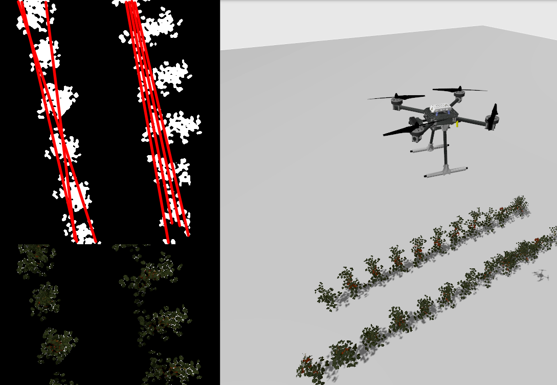
The aim of the thesis is to enable the autonomous mapping of a field with one or multiple drones. The student will use image algorithms to detect the planted rows of a simulated field and then plan trajectories to perform a complete coverage and mapping task. The thesis work will be performed in simulation using a ROS2/Gazebo-PX4 simulator additional validation might be performed with real experiment or HIL simulations.
Instruments
ROS, Gazebo, OpenCV, PX4
References
Professor
Fabio Ruggiero - Questo indirizzo email è protetto dagli spambots. E' necessario abilitare JavaScript per vederlo.